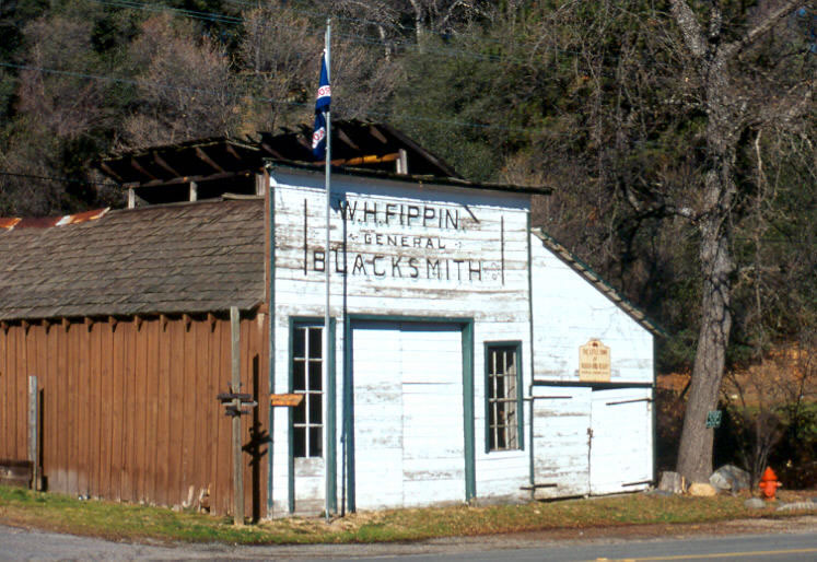
Henness Pass Trail
Courtesy of the South Yuba River State Park
The original Henness Pass road was primarily a road for an easier entrance into California. After the Donner Party disaster of 1846, emigrants avoided the rugged cliffs above Truckee (later Donner) Lake. Instead they turned northward taking a longer route developed by Patrick Henness (or Hanness) in either 1849 or 1850, although that is a subject of some debate. What is known is that Henness, along with his partner Jackson, is the probable discoverer of the pass that bears his name, and in 1852 the wagon road over it was improved in an attempt to draw overland emigrants to the country of North and Middle Yuba Rivers and to the towns in the Yuba and Nevada Counties. However, most emigrants continued to use the Echo Summit-Placerville route (Johnson’s Cutoff).
In 1855 the road was officially surveyed by D.B. Scott as part of the region's bid for selection as the site of the California State Wagon Road. Although Scott's survey spoke in the glowing terms of the relative ease of the route through the Henness Pass and gave low estimates on the cost of improvements, the route was passed over in favor of the road through El Dorado County.
The Henness Pass Trail was a primary (and shorter route) to the Comstock Lode in Nevada.
A major advantage of the Henness Pass route was its accessibility to trade via navigable Sacramento, Feather, and lower Yuba Rivers. Freight of all kinds loaded at San Francisco on river boats, barges, and steamers unloaded at Sacramento and Marysville and, depending on the dry or wet season, such other landings as Nicolaus, and Knights Landing, for transfer to teamsters, stages, and pack trains. Many camps and towns were created along the roads, the distances between determined by oxen moving seven to ten miles a day and horses and mules traveling twenty miles each day.
Even during the peak years of use the Henness Pass road second to the Placerville-Carson route. The great need for transportation across the mountains, the crisis caused by the Civil War, and the need for gold and silver by both the North and the South contributed to the planning and building of the Central Pacific Railroad from Sacramento connecting with the railroad lines of the midwest and eastern United States. The opening of the railroad in 1868 and its completion in 1869 put an end to the heavy hauling over Henness pass. Thereafter it was used only for local traffic.
Gallery
| Click on any image for a larger version. | ||
 |
 |
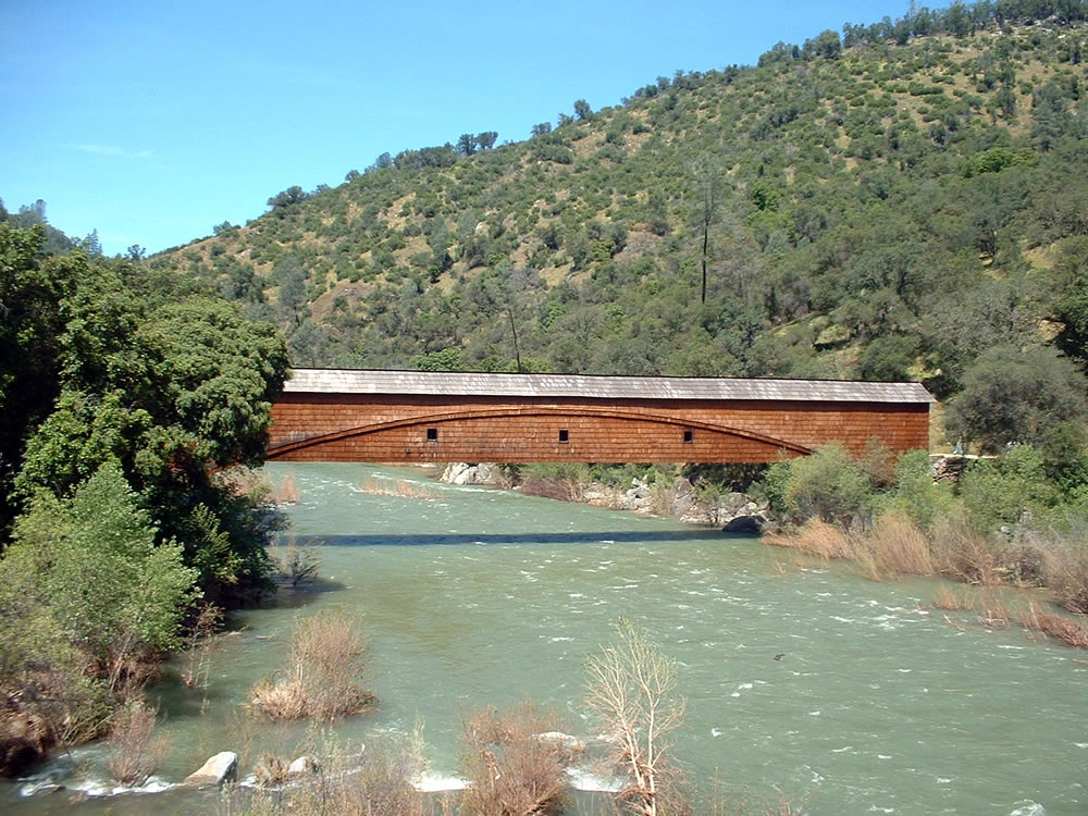 |
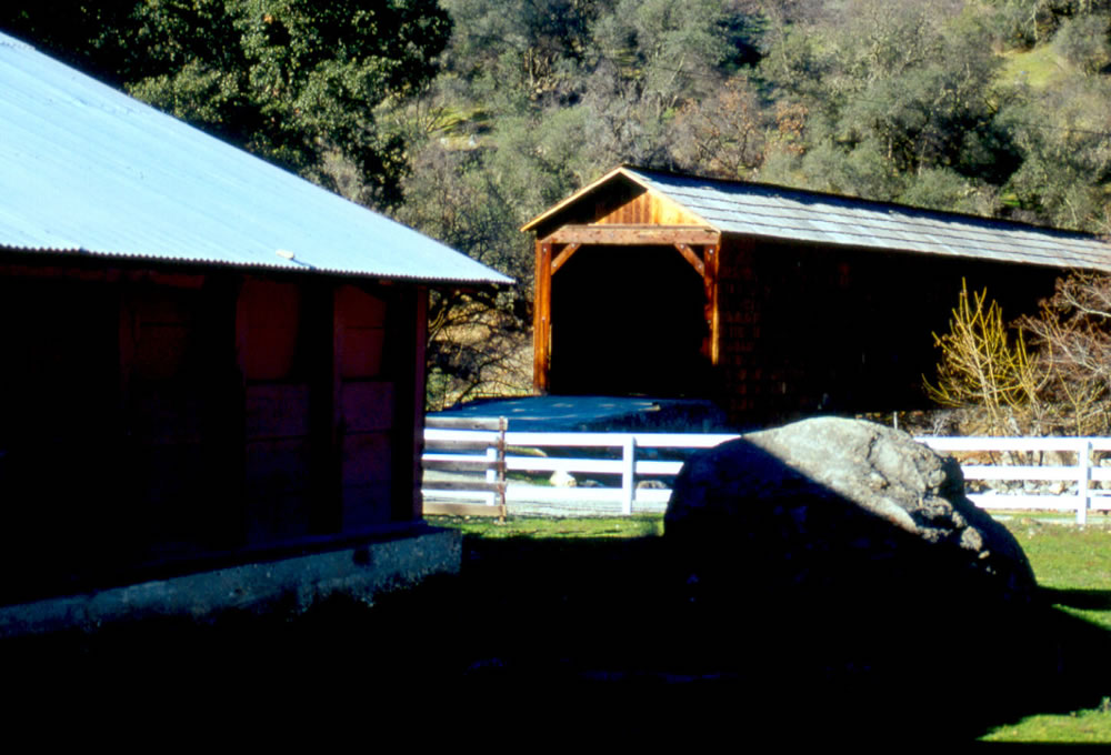
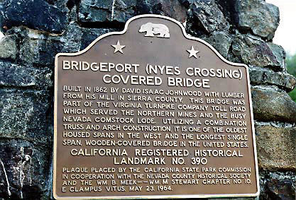
| Bridgeport along the Henness Pass Trail. | The Bridgeport Historical Marker along the Henness Pass Trail. | Bridgeport along the Henness Pass Trail. This is one of the longest existing covered bridges in the United States. It is located over the Yuba River. |
 |
 |
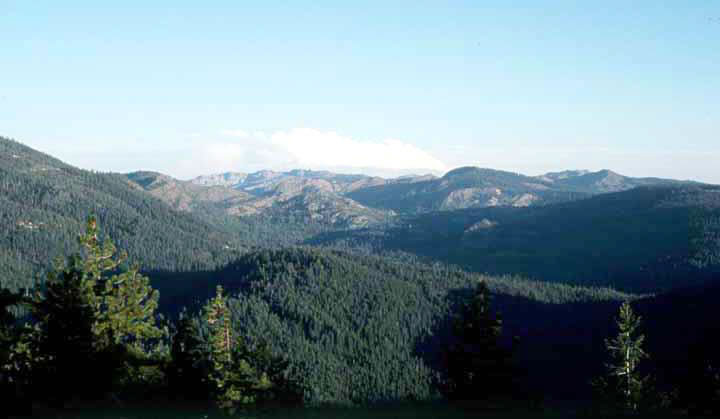 |
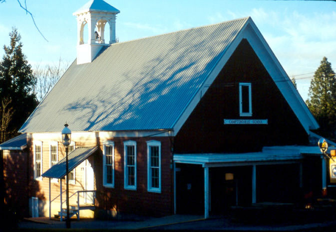
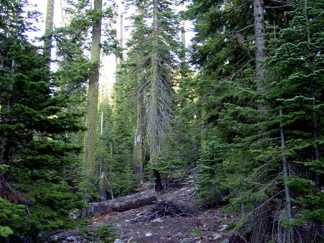
| Camptonville along the Henness Pass Trail. | Near the Jackson Meadows Reservoir along the Henness Pass Trail. | The Henness Pass Trail |
 |
 |
 |
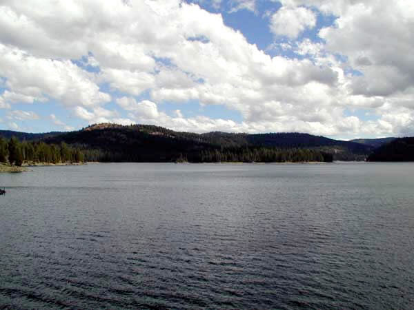
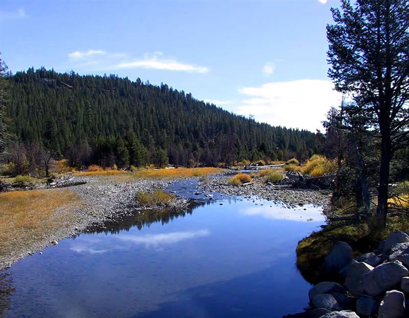
| Jackson Meadows Reservoir along the Henness Pass Trail. | The Little Truckee River along the Henness Pass Trail. | Rough and Ready along the Henness Pass Trail. The little town of Rough and Ready was named for Mexican War hero General Zachary Taylor, whose nickname was “Old Rough and Ready”. |
 |
||
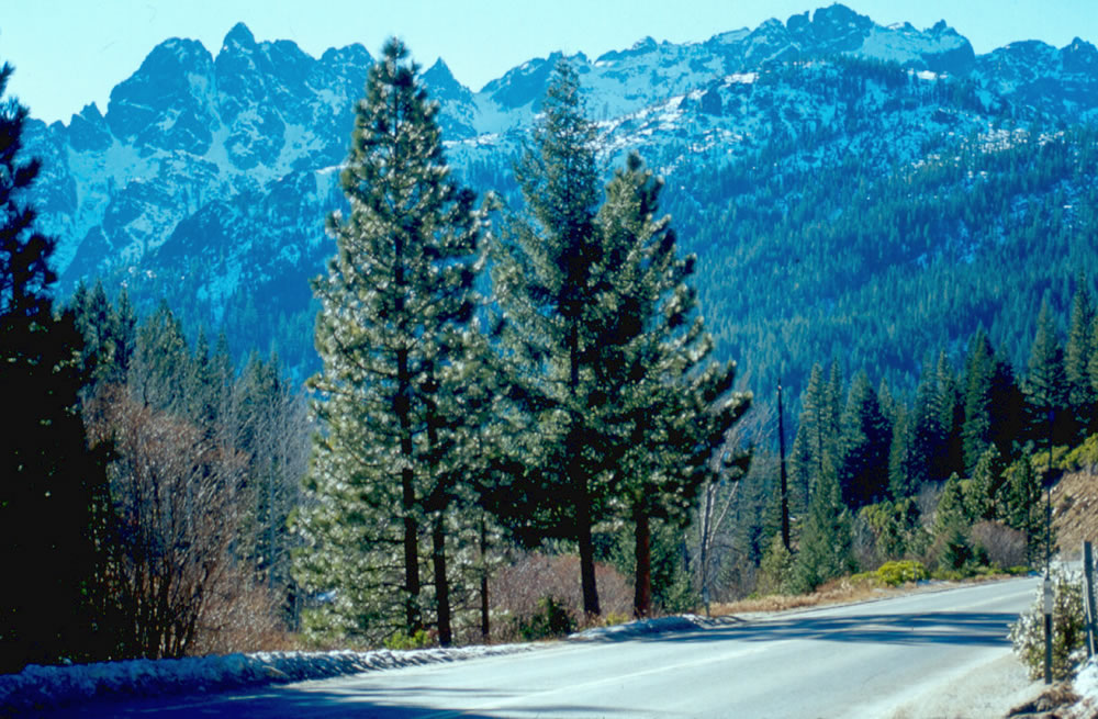
| The Sierra Buttes along the Henness Pass Trail. | ||
| Credits: SNVM staff; South Yuba River State Park, State of California; Collections of the Bancroft Library, University of California, Berkeley; the Eastman Collection of the University of California, Davis; National Archives, Washington D.C.; National Forest Service, Washington, D.C.; Online Archive of California; Oregon-California Trails Association. | ||